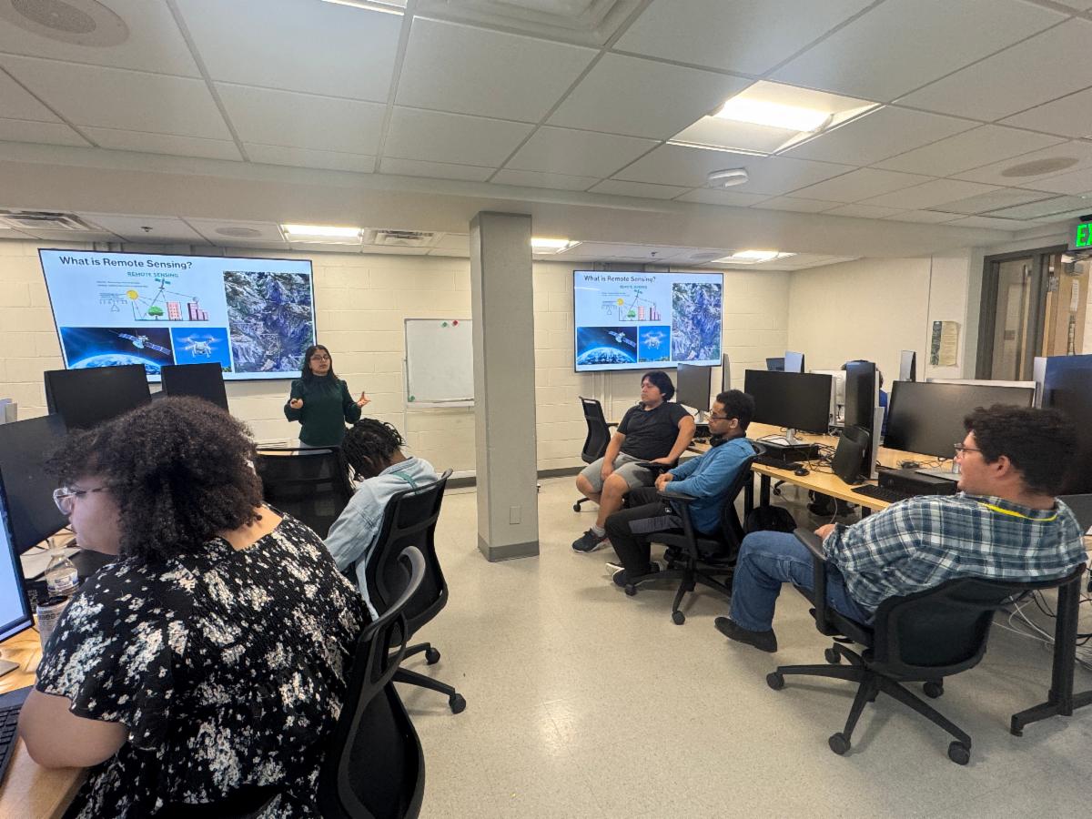
This past June, 13 high school students from across the Commonwealth gathered at Kentucky State University for an intensive four-day workshop where they learned to transform real-world data into digital story maps—interactive web maps that combine text, images, and data. The students, part of the University's Summer STEM Momentum Academy, represented Shelby, Lee, and Fayette counties.
The event culminated in a friendly competition where students presented their final projects, showcasing everything from local community landmarks to global travel dreams. To celebrate their creativity, awards were presented for Best Map Design, Most Creative Story Map, and Best Presentation.
For many students, the experience was a powerful introduction to a new world of technology.
“I never knew you could tell a story with a map,” said Maria Johnson, a junior from Fayette County. “Seeing my data come to life and then presenting it was the coolest part. It definitely opened my eyes to how many different careers there are in tech.”
The workshop’s goal was to make complex technology accessible and inspiring, reflecting Kentucky State’s deep commitment to building a strong STEM pipeline.
“This workshop is about more than just maps — it’s about showing students how technology and spatial thinking are used to solve real-world problems,” said Kabita Paudel, program coordinator and GIS instructor. “We want students to see themselves in STEM careers.”
Paudel facilitated the workshop, with support from research associates Dipesh Oli and Ife Familusi.
Participants left the experience with new technical skills that directly translate to college and career readiness, sparking a genuine interest in high-demand fields. The hands-on experience demystified emerging technologies like GeoAI and remote sensing, empowering students to see themselves as future innovators.
“This workshop reflects our ongoing commitment to advancing geospatial education across all academic levels,” said Dr. Buddhi R. Gyawali, professor of geospatial applications and the project director. “These opportunities provide students with invaluable hands-on experience in geospatial data analysis, environmental monitoring, and spatial decision-making.”
To support this mission, Kentucky State University offers a 12-credit Certificate and an 18-credit Minor in Geospatial Technology Applications, supported by a state-of-the-art lab equipped with UAVs, LiDAR, and industry-standard software.
The GIS workshop was funded by the U.S. Department of Energy GAEC-MSI Award #DE-EM0005308 and the National Science Foundation Preparing the Pipeline of Next Generation STEM Professionals Award #HRD 2011917.
For more information about geospatial programs and opportunities:
- Ms. Kabita Paudel: Kabita.Paudel1@kysu.edu
- Dr. Buddhi R. Gyawali: Buddhi.gyawali@kysu.edu